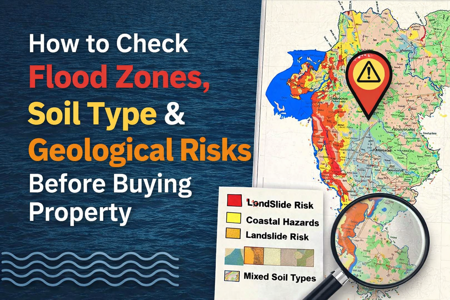
How to Check Flood Zones, Soil Type & Geological Risks Before Buying Property
The Due Diligence Step That 90% of Indian Home Buyers Completely Skip
Every single time, thousands of homeowners were shocked. Their builders weren’t. Their municipal corporations weren’t.
The data existed. The maps existed. The warnings existed. The buyers just never checked.
If you are about to spend ₹50 lakh, ₹1 crore, or ₹2 crore on a home in a country where climate events are becoming more extreme every year, this is the single most underrated piece of due diligence you can do.
Why This Matters More Than You Think
Most buyers spend weeks comparing flat sizes, amenities, and loan rates. Very few spend even one hour asking whether the ground beneath their future home is safe.
- Does this area flood during heavy monsoons?
- What kind of soil is this building constructed on?
- Is there any history of land subsidence, landslides, or seismic activity nearby?
These are not rare or exotic risks. They are real, documented, and growing, especially as urbanisation pushes construction into low-lying areas, riverbeds, and geologically unstable zones.
Resale Value Drops
Flood-prone flats lose value rapidly. Banks now refuse home loans on high-risk zone properties.
Structural Damage
Expansive or waterlogged soil causes cracking that standard insurance won’t cover.
Insurance Rejected
Standard policies exclude flood damage in designated high-risk flood zones.
Demolition Notices
Buildings on prohibited flood plains face municipal demolition orders.
The good news? You can check most of this yourself, before you book, before you sign, and before you pay. All tools in this guide are free and publicly available.
Checking Flood Zones
What is a flood zone, why Indian cities flood, and how to check yours step by step
What Is a Flood Zone?
A flood zone is a geographic area assessed for its likelihood of flooding based on historical data, topography, proximity to water bodies, and rainfall patterns. Properties in high flood-risk zones are more likely to experience waterlogging, property damage, and road disruption during heavy rains.
Why Indian Cities Are Increasingly Flood-Prone
Rapid urbanisation has paved over natural drainage channels. Lakes and wetlands that once absorbed rainwater have been encroached upon and built over. Storm drains are undersized for modern rainfall intensity. As a result, areas that didn’t flood 20 years ago now flood regularly.
How to Check Flood Risk — Step by Step
Tool 1: NDMA Flood Hazard Atlas
The National Disaster Management Authority (NDMA) has published district-level flood hazard maps for India.
- Website: ndma.gov.in
- What you can check: Flood hazard zones classified as High, Medium, and Low risk by district
- Limitation: District-level data, not granular enough for a specific plot
Tool 2: National Remote Sensing Centre (NRSC) — Bhuvan Portal
NRSC’s Bhuvan portal offers satellite-based geospatial data including flood inundation maps, land use maps, and drainage basin maps.
- Search your area using coordinates or address
- Enable “Flood” or “Disaster” layers to view inundation-prone areas
- Cross-reference with “Land Use / Land Cover” to see if the plot sits on a former water body or low-lying land
If the satellite imagery shows blue or green patches near the plot in pre-urbanisation years, that area was likely a lake, pond, or marshy land. Construction on such land is always higher risk.
Tool 3: Google Earth Historical Imagery
Google Earth’s timeline feature lets you go back 20 to 30 years in satellite imagery.
- Open Google Earth Pro (free to download)
- Navigate to your property location
- Click the clock icon to view historical images
- If the land was a lake, paddy field, or low-lying wetland in older images, it is a risk
Tool 4: Municipal Corporation Flood Maps
Several cities now publish their own flood vulnerability maps:
- Mumbai: MCGM’s Flood Forecasting System and Storm Water Drain Master Plan at mcgm.gov.in
- Chennai: Greater Chennai Corporation publishes ward-level flood risk data
- Bengaluru: BBMP and KSNDMC have published flood inundation maps
- Delhi: Delhi Flood Control Order maps and DDA flood plain zoning maps
- Pune: PMC has published flood-prone areas list, check for your ward
Visit your city’s municipal corporation website. Search for “flood prone areas,” “flood hazard map,” or “storm water drain master plan.”
Tool 5: Ask Locals — The Most Underrated Tool
Before finalising any property, visit the area during or just after a heavy monsoon shower. Talk to auto drivers and shopkeepers, residents of nearby buildings, and security guards of adjacent housing societies.
Ask directly: “Does this area get waterlogged? How long does the water stay?”
This one step, which costs zero rupees, has saved countless buyers from regret.
🚩 Red Flags That Signal Flood Risk
Checking Soil Type
Why the ground beneath your building matters as much as the building itself
Why Soil Type Matters for Your Home
The soil your building stands on determines foundation requirements, risk of settlement or subsidence (uneven sinking over years), bearing capacity (how much load the soil can safely support), water retention, and expansion behaviour in wet and dry seasons.
“A building constructed without a proper soil investigation is like a table with one leg shorter than the others. It may hold for years, but eventually it will tilt.“
Soil Types Common in Indian Cities and Their Risks
| Soil Type | Found In | Risk Level | Key Issue |
|---|---|---|---|
| Black Cotton Soil (Vertisol) | Maharashtra, MP, Telangana, Karnataka | High | Swells when wet, shrinks when dry. Causes major cracking. |
| Alluvial Soil | Indo-Gangetic plain, river deltas | Medium | Loose and compressible. Needs deep piling. |
| Laterite Soil | Kerala, coastal Karnataka, Goa | Low to Medium | Generally stable, but can be porous in some areas. |
| Sandy Soil | Coastal areas, Rajasthan | High | Poor bearing capacity. Liquefaction risk in earthquakes. |
| Made-up Land / Fill | Reclaimed areas, former lakebeds | Very High | Unpredictable settlement and very poor load bearing. |
| Rocky Soil / Hard Rock | Bengaluru, parts of Hyderabad | Low | Excellent for construction. Most stable foundation base. |
How to Check Soil Type and Condition
Step 1: Ask the Builder for the Soil Investigation Report (SIR)
Every legitimate project must conduct a Soil Investigation or Geotechnical Investigation before construction begins. This report contains soil classification and type, bearing capacity at various depths, water table level, recommended foundation type, and SPT (Standard Penetration Test) values.
You have every right to ask for this report. If the builder refuses or claims it doesn’t exist, that is a serious red flag. Walk away.
Step 2: Check Foundation Type
- Isolated footing / Raft foundation: Suitable for stable, high-bearing-capacity soil
- Pile foundation: Used in soft, loose, or filled-up land. Indicates weak soil requiring deep anchoring
- Well foundation / Caisson: Used near water bodies or very deep soft soil
If pile foundations are used, ask how deep the piles go and what stable soil stratum they rest on.
Step 3: GSI Geological Maps
The Geological Survey of India (GSI) maintains geological maps showing soil and rock type, fault lines, and terrain classification. GSI has published Urban Geology reports for Mumbai, Delhi, Bengaluru, Kolkata, Chennai, Hyderabad, and Pune. These are goldmines of information for buyers.
- Website: gsi.gov.in
- Look for: Soil type, proximity to fault lines, filled land areas
Step 4: Check Reclaimed or Filled Land Records
In cities like Mumbai, Navi Mumbai, and coastal areas, significant portions of land are reclaimed from the sea or filled-up former water bodies. Such land has very poor natural bearing capacity, requires extensive piling, is prone to waterlogging and seepage, and can experience long-term settlement.
Geological & Seismic Risks
India’s seismic zones, fault lines, landslide risk, and the slow silent threat of subsidence
India’s Seismic Zones — What Every Buyer Must Know
India is divided into four seismic zones based on earthquake risk:
Low Risk
Parts of South India, Rajasthan interior
Moderate Risk
Mumbai, Pune, Delhi, Kolkata, Chennai, Hyderabad
High Risk
Jammu & Kashmir, Himachal, parts of Bihar, UP
Very High Risk
Northeast India, parts of J&K, Uttarakhand, Andaman
Important: Even Zone III, which covers major metros like Mumbai and Delhi, is classified as “Moderate.” This means earthquake-resistant design is mandatory, not optional.
How to Check Seismic Risk
Step 1: Identify Your Zone
- Visit the Bureau of Indian Standards (BIS) website or search for “IS 1893 Seismic Zone Map India”
- Identify which zone your city falls in. This is publicly available information.
Step 2: Verify Earthquake-Resistant Construction
For any project in Zone III and above, ask the builder:
- Is the building designed as per IS 1893:2016 (Earthquake Resistant Design code)?
- What is the structural consultant’s certificate confirming seismic design compliance?
- Is there a structural stability certificate issued by a licensed structural engineer?
These are mandatory requirements. A builder who cannot produce these documents has a serious compliance gap.
Step 3: Check for Proximity to Fault Lines
- The Delhi–Haridwar Ridge fault runs under parts of Delhi
- The Koyna fault near Pune was responsible for the 1967 Koyna earthquake
- Several faults run through the Deccan Plateau
GSI’s geological maps will show fault lines. Avoid properties located directly over or very close to a known active fault.
Landslide and Slope Risk
If you are buying property in hilly terrain such as Himachal Pradesh, Uttarakhand, Western Ghats, or the Nilgiris, landslide risk is critical. Check NRSC Landslide Hazard Zonation Maps on bhuvan.nrsc.gov.in, your State Disaster Management Authority, or the GSI Landslide Atlas of India (2023), which covers 147 districts across 17 states.
🚩 Red Flags for Landslide-Prone Areas
Subsidence — The Slow, Silent Risk
Land subsidence is the gradual sinking of the ground surface. It happens due to excessive groundwater extraction, mining activity beneath the surface, decomposition of organic matter in filled land, and poor soil compaction during construction.
Cities at known subsidence risk: Parts of Mumbai, Delhi, Chennai, and several other metros where groundwater over-extraction is severe.
- Cracks in roads that keep reappearing despite repair
- Tilting of older buildings or compound walls nearby
- Frequent underground utility line breaks in the area
- Very shallow water table observed during monsoon
Your Pre-Purchase Risk Checklist
Work through this before finalising any property. Click each item to mark it complete.
Questions to Ask Your Builder Directly
Use these during your site visit or negotiations. A confident, transparent builder will answer all of these. Evasive answers are a red flag that warrants deeper investigation.
What Happens If You Skip This Step
Let’s be direct about the consequences of not doing this check:
Waterlogging Every Monsoon
Damaged furniture, vehicles, flooring, and serious health hazards every single year.
Structural Cracks
From expansive soil movement. Expensive to repair and frightening to live with.
Resale Difficulty
Banks increasingly refuse loans on flood-prone properties, killing your resale market.
Insurance Rejections
Standard home insurance often excludes flood damage in designated flood zones.
Legal Issues
Buildings on prohibited flood plains or water body catchment areas face demolition orders.
Financial Loss
Properties in risk zones depreciate faster than the rest of the market.
None of this is alarmist. It is documented history in city after city across India.
Free Tools — Quick Reference All Free
All of the below are free, publicly available, and require no professional to access.